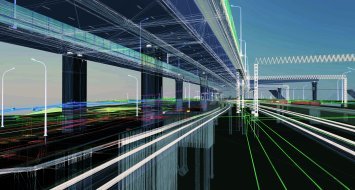
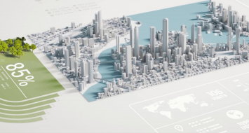
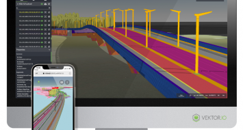
The most cited and best understood BIM use by infrastructure project stakeholders is interface management. Those related to the environment are often neglected. The size of infrastructure construction operations and the resulting allotment of trades are factors of complexity.
How to successfully contextualize an Infra project?
It becomes even more important to acquire the environment correctly and to transcribe it into a workable model to anchor the infrastructure project in its natural and human environment. For Alexandre GUEBEY (diadem), reliable data acquisition is one of the keys to success. "In addition to the classic tools and methods of acquisition and processing used on a daily basis, it is now possible to supplement this data with that acquired by new tools that incorporate multiple sensors, such as those we are developing. These sensors thus offer a better knowledge of confined environments, normally inaccessible areas, and disorders not visible to humans. Their use makes us a little less blind.
BIM and the use of data collected in real life
The data collected in the field is only partially usable in BIM models. A stage of information valorization is to be carried out: classification, vectorization, analysis. The underlying challenge: the transcription of a data model that is understood and usable by all. Soil models, for example, are made up of measured data, complex geometric shapes and engineers' interpretations. Their exploitation in BIM is always laborious, especially when it comes to transferring models between software programs. For Gilles Chapron (terrasol) and Norane Hassan (als), this is what reinforced setec's interest in the MINnD working group on the constitution of Geotechnical IFCs. "We are heavily involved in MINnD and contribute our expertise to develop IFCs, BIM uses and practices in our business lines. It's very motivating”.
The lights of BIM
Working with BIM methods means making informed decisions based on a foundation in which the project team has confidence. It means designing directly in the digital twin of the environment. This dimension is even truer when the project involves infrastructure that is under operation (roads, motorways, and railways) or has very strong interfaces with the environment. Gilles Chapron and Nicolas Horsin (tpi) have implemented the management of the ground-working interfaces, which has improved the understanding of the problems to validate constructive solutions. "With the project's integration over time and in the environment, my teams validated the feasibility of works under traffic," confides Hélène Maugueret (rail). Victor Morel (international) and Denis Le Roux (als) also approve: "In most of our studies, the existing site and the constraints associated with it led us to implement complex road geometries. Real-time BIM<>Environment verification has become essential.»
IBO21 will be an opportunity to share best practices and feedback between design and construction players: come and exchange with experts from diadès, setec als, setec railway, setec tpi, setec international and terrasol on the BIM integration of infrastructures in their environment! See you in Lyon from 30 August to 1 September 2021.
Other news

Fully custom data processing pipelines
Build custom tools for processing reality data with Pointscene’s new API

Allplan Bridge 2022: The evolution of precast bridge modelin...
Discover a dedicated modeling solution to generate accurate geometry easily and quickly

BIM Infra, a quality approach according to setec
The benefits of BIM Infrastructure are numerous. For a long time, BIM Infrastructure has r...

Infrakit’s owners’ view: schedule, costs and quality
The work environment for which Infrakit was designed for is quite extensive and diverse. M...


